
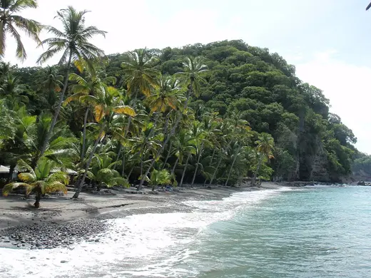
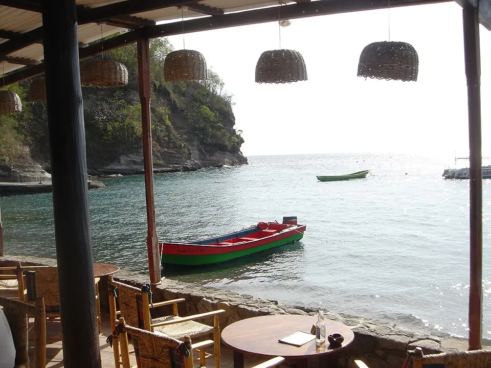
Photo: ROxBo at English Wikipedia, Public domain via Wikimedia Commons. Image shows this beach.
Overview
Anse Chastanet is a beach in Soufrière Quarter, Saint Lucia.
Practical details such as fees, parking, facilities and access rules have not been researched for this beach yet. Check the local authority before you travel.
Facilities and access
Not yet documented. Facilities, parking, fees and access rules have not been checked yet. An unmentioned facility does not mean it is absent.
Activities and planning
Surface: Not yet documented
Type: Coastal
Activities mentioned: Not yet documented
Map
Coordinates 13.8647, -61.0768, taken from Wikidata.
Nearby beaches
Sources and updates
Last compiled 2026-11-14. Found an error? Suggest a correction.
- Wikipedia article (reference)
- Wikidata item (coordinates, location) (reference)